1
/
of
4
Mississippi River Map 1887
Mississippi River Map 1887
Regular price
$38.95 USD
Regular price
Sale price
$38.95 USD
Unit price
/
per
Shipping calculated at checkout.
Couldn't load pickup availability
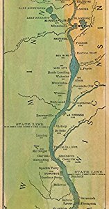
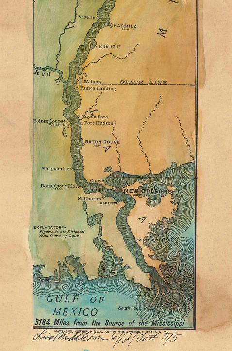
This reproduction of a rare Mississippi River "ribbon map" was drawn by Captain Willard Glazier to "prove" his premise that the True Source of the Mississippi was Lake Glazier rather than Lake Itasca. Looking for modern day towns on an old map? Many modern-day towns are included in this. It also contains many towns noted no longer appear on maps, like Waterproof...which wasn't!
This is a hand painted historical map reproduction which in it's original state was black and white, yellowed with age and possibly torn or creased.
- 4 3/4" x 38 3/4"
- Encased in plastic wrap for protection.
Share

