1
/
of
1
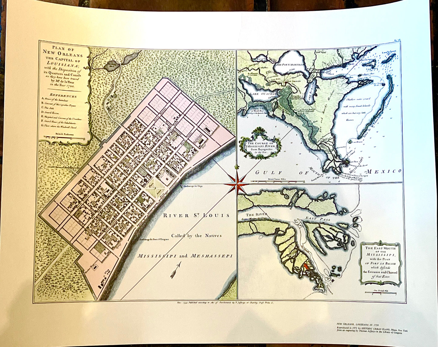
New Orleans 1759 Map
New Orleans 1759 Map
Regular price
$48.95 USD
Regular price
Sale price
$48.95 USD
Unit price
/
per
Shipping calculated at checkout.
Couldn't load pickup availability
13 1/4" x 19".
Thomas Jeffreys published this first English plan of Louisiana's capital city. It included inset maps showing the river approaches to New Orleans and the mouth of the Mississippi. The museum quality edition of this plan is printed on a heavy paper to highlight the lines and shading of this fine engraving. This reproduction is a black and white version of the original colored plan. Color Map (Not As Displayed in B&W), Cover-stock Paper.
Share